Fret impact
Limit the impact of logistics activity zones
Understand incoming and outgoing freight traffic and air quality patterns, informing traffic regulations, vehicle emissions standards and air quality objectives
Optimize logistic hubs activities
discover
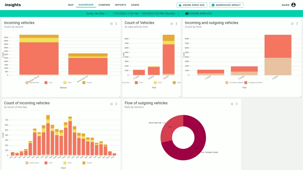
Understand freight traffic flows
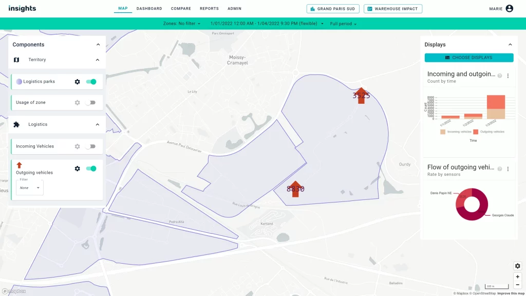
Fret Impact identifies areas of traffic congestion and monitors the evolution of air quality and noise levels. Points of traffic congestion are visualized on a local map, and the evolution of air quality and noise levels is tracked via key metrics in the dashboard.


discover
Understand local fleet composition
By gaining visibility into the types of vehicles currently used by logisticians, cities can evaluate the need for local policy and/or incentives to help operators make their fleet more sustainable.
Enhance
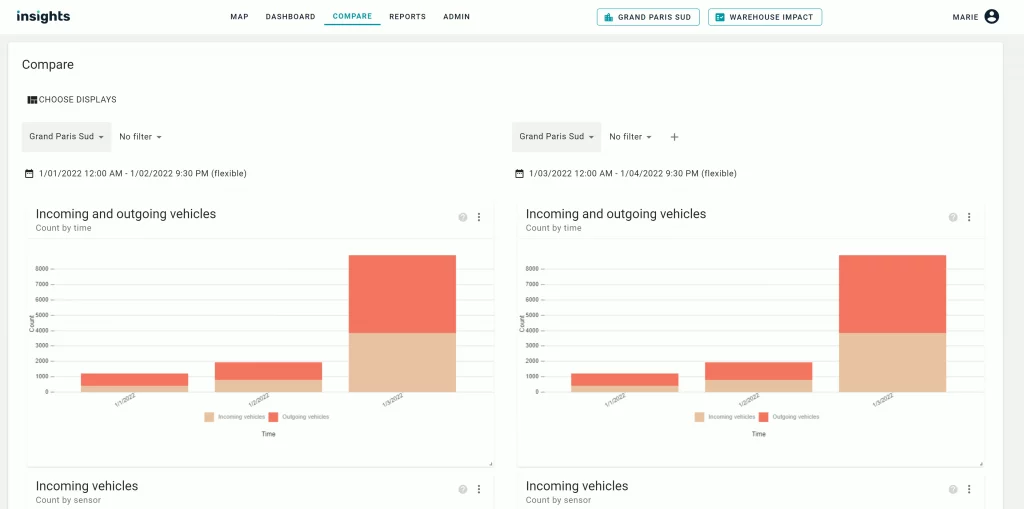
Compare different areas
The “Compare” feature allows you to highlight the differences between several logistics zones or parks to ensure sustainable planning on a territorial scale”

DID you know ?
While there has been a push to integrate logistics and warehousing spaces into city centers, more warehousing spaces continues to be available outside city limits, often putting pressure on adjacent communities within a metropolitan area.
Local governments are thus confronted with competing priorities and potential impacts of these logistics and warehousing spaces.

