Public Sector

Sustainable cities thanks to geospatial data
Cities generate 80% of the world’s GDP and 70% of greenhouse gas emissions. Urban managers must ensure efficient public services, sustainable growth and population safety, all within budget. Geospatial data is crucial for effective management. We work with cities around the world to improve their geospatial data, aiming to create smart, sustainable cities.

URBAN LOGISTICS
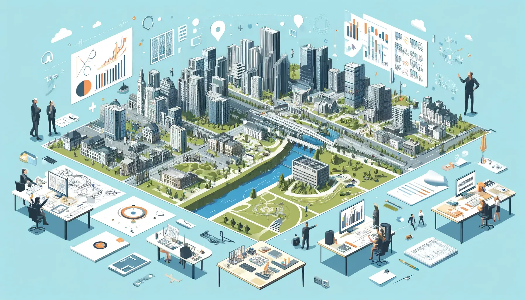
Quickly visualizing and analyzing projects enables urban planners to be more proactive in planning. Our solutions facilitate collaboration between in-house agencies, consultancies and public stakeholders, increasing productivity and improving community engagement.

15 MIN CITY
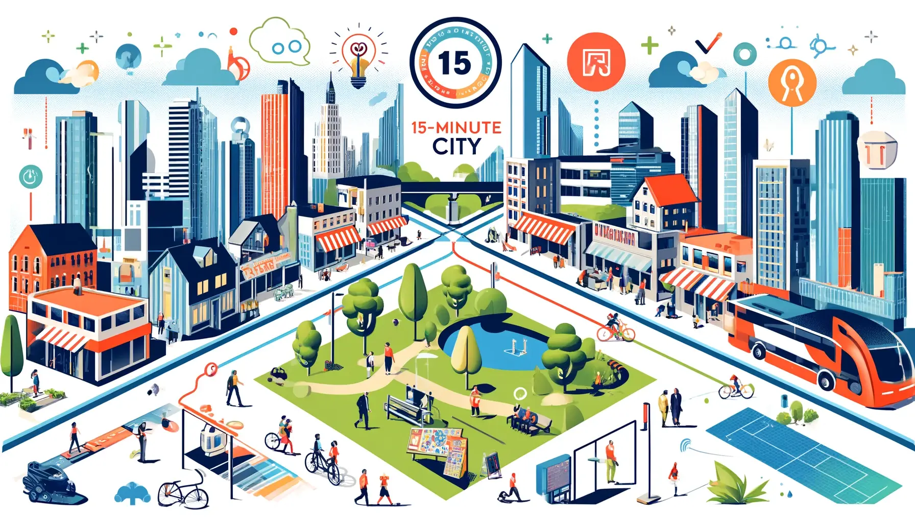
The most innovative cities are investing to ensure their attractiveness. The world-renowned 15-minute city concept helps you to think in terms of proximity. By strengthening collaboration and decision-making, your city can solve its social, environmental and economic challenges thanks to spatial data.

Road Safety
Vision Zero is a strategy to eliminate all traffic fatalities and severe injuries, while increasing safe, healthy, equitable mobility for all. First implemented in Sweden in the 1990s, Vision Zero has proved successful across Europe — and has gained momentum in major American cities. Locate, prioritize, and evaluate risky traffic areas to avert accidents and injuries.

PLANIFICATION
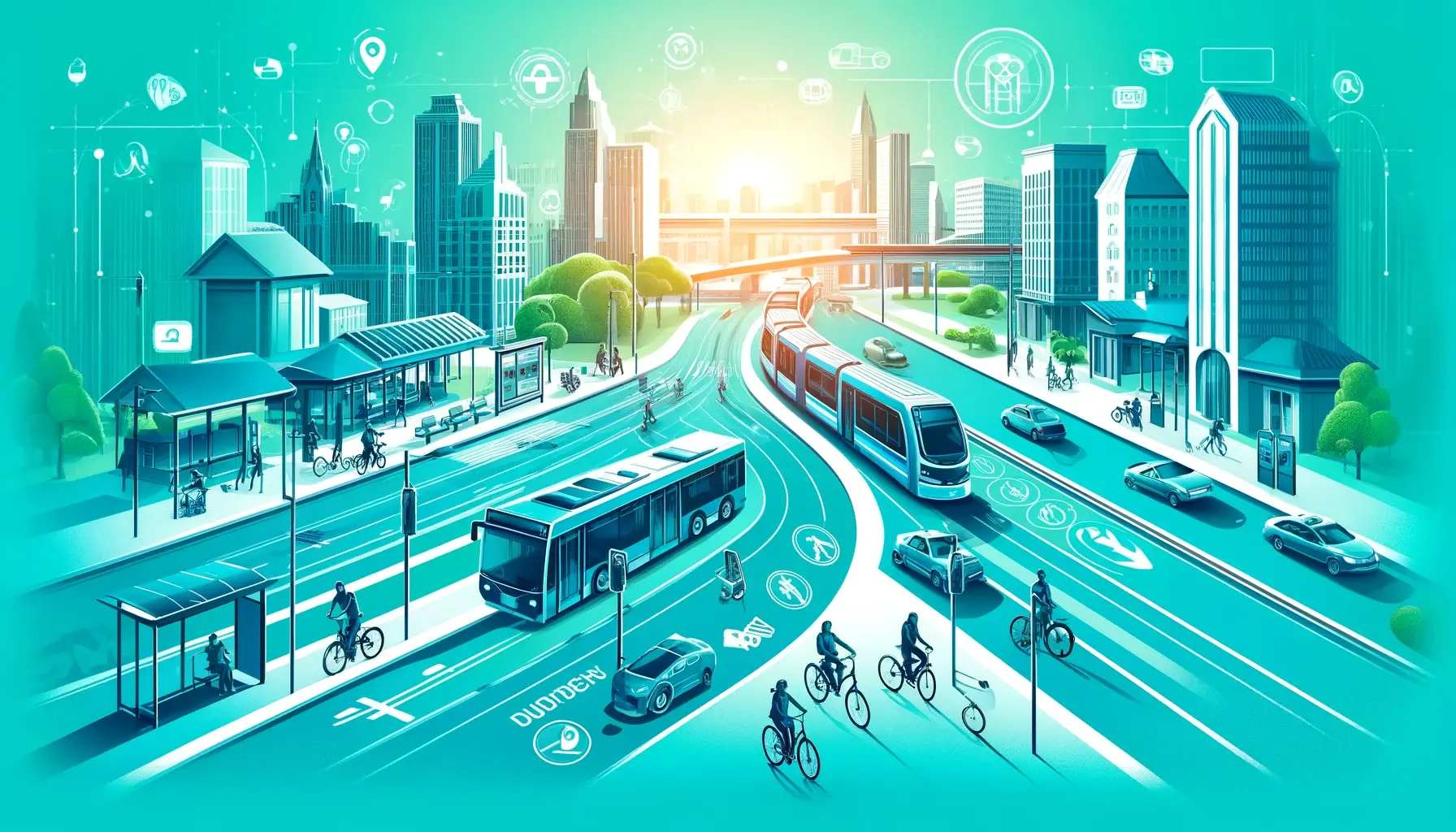
Optimizing public transport infrastructure, such as bicycles, buses, trains and subways, is essential for reducing traffic and improving road safety. By analyzing commuter movements using origin-destination matrices and spatial models, cities can provide the right services to those who need them most.

