
EN

EN

EN

Parking and stopping

Parking and stopping

Duration, location, peak usage: measure the actual occupancy of your parking and delivery areas

Duration, location, peak usage: measure the actual occupancy of your parking and delivery areas

Parking and stopping

An accurate reading of actual practices

Are you managing your flows blindly?

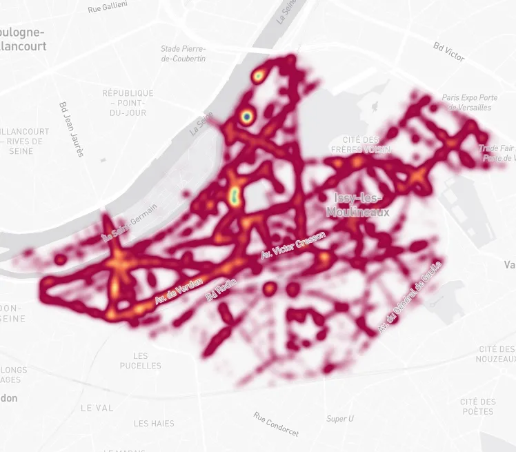
Urban Radar's Insights platform shows where vehicles stop, for how long, and under what conditions, both at the street and network level.

How many heavy goods vehicles pass through your town centre each day? At what times? Along which routes? And where do they come from?

Diagnose

Identify imbalances between supply and actual usage, zone by zone

Diagnose

Identify imbalances between supply and actual usage, zone by zone

Adapt

Adjust the location and sizing of your delivery and parking areas

Adapt

Adjust the location and sizing of your delivery and parking areas

Regulate

Prioritise sectors under pressure and objectify your management decisions

Regulate

Prioritise sectors under pressure and objectify your management decisions

mobility - vehicle flows

Practical uses for a variety of professions

Local authorities, site managers, logistics operators: stop and parking analysis integrates into your development projects and operational strategies.

Local authorities and territories

Resize your delivery areas, revise your master plans and assess the impact of new regulations, using legally binding usage data

Local authorities and territories

Resize your delivery areas, revise your master plans and assess the impact of new regulations, using legally binding usage data

Achievements

Let us go further together

Discover how our data and our platform
adapt to your business challenges